
Founded by Demobilized soldiers Local time Friday 11:32 PM | Founded 1949 Population (2015) 729 | |
 | ||
Weather 14°C, Wind NE at 6 km/h, 72% Humidity | ||
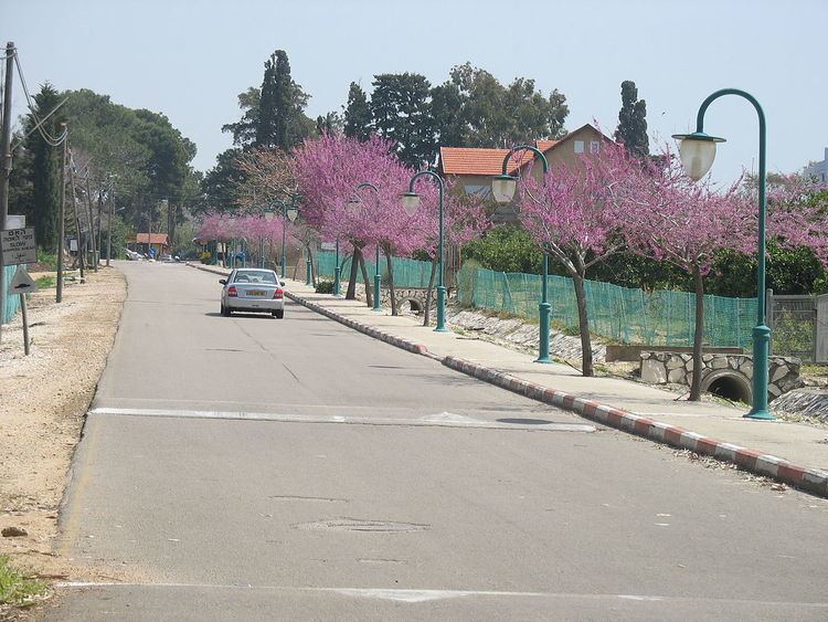
Liman (Hebrew: לִימַן) is a moshav in northern Israel. Located in the Western Galilee about 5 km (3 mi) north of Nahariya, it falls under the jurisdiction of Mateh Asher Regional Council. In 2015 it had a population of 729. Its area is about 2400 dunams and most residents work in agriculture, including chicken raising.
Contents
Map of Liman, Israel
History
The village was founded in 1949 by a group of demobilized soldiers on part of the lands of the depopulated Arab village of al-Bassa. It was originally called Tzahal, but was later renamed "Liman" to honor the American senator Herbert H. Lehman.
The Liman Nature Reserve is located about 1 km (1 mi) north of the settlement, an area of about 50 dunams on a section of the gravel ridge that was preserved.
A 3rd century painted tomb from the Roman period was discovered in the fields of Liman in 1994–1995. The tomb contained two skeletons, bottles, coins and pottery.