
Airport type Public Elevation AMSL 975 ft / 297 m 6,000 1,829 Elevation 297 m | 10/28 6,000 Code AOH Phone +1 419-227-3225 | |
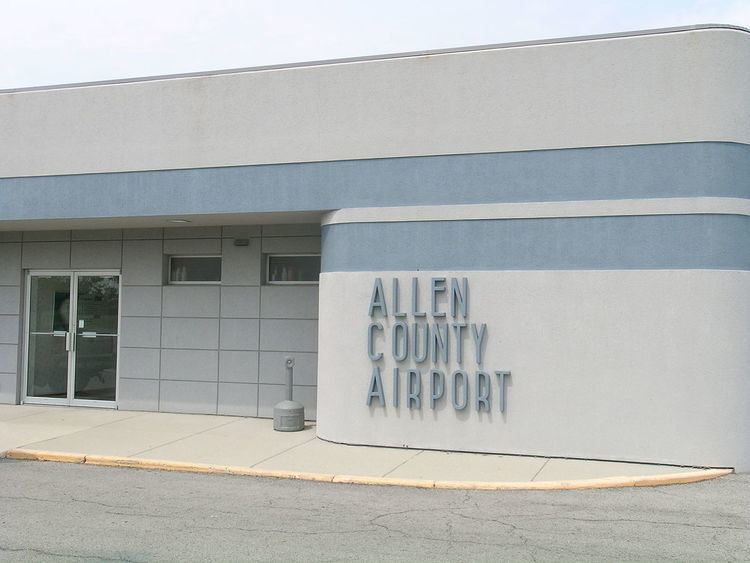 | ||
Owner Allen County Regional Airport Authority Address 700 Airport Dr, Lima, OH 45804, USA | ||
Lima Allen County Airport (IATA: AOH, ICAO: KAOH, FAA LID: AOH) is a public use airport located five nautical miles (9 km) southeast of the central business district of Lima, a city in Allen County, Ohio, United States. It is owned by the Allen County Regional Airport Authority.
Contents
History
The current airport site is located near the corner of Hanthorn Road and SR 117 east of Lima. It moved to this site in 1963; prior to then, the airport was located northwest of Lima near the village of Elida.
Local television station WTLW has its studios located in a former hangar at the old airport site.
Facilities and aircraft
Lima Allen County Airport covers an area of 696 acres (282 ha) at an elevation of 975 feet (297 m) above mean sea level. It has two runways: 10/28 is 6,000 by 150 feet (1,829 x 46 m) with an asphalt surface; 14/32 is 3,994 by 150 feet (1,217 x 46 m) with an asphalt and turf surface. Runway 14/32 closed in the winter.
For the 12-month period ending June 1, 2007, the airport had 32,500 aircraft operations, an average of 89 per day: 80% general aviation, 18.5% air taxi, and 1.5% military. At that time there were 28 aircraft based at this airport: 71% single-engine, 25% multi-engine and 4% jet.