
 | ||
Restaurants Bistro Gardenas, De Beer Seafood, Aunties Pond, Fin Jone Restaurant & Bar, Bliss Restaurant | ||
Lim chu kang adventure singapore s countryside high tech farms instawalk with mnd singapore
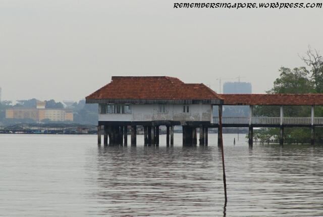
Lim Chu Kang is a planning area located in the northwestern part of the North Region of Singapore, bordering the Western Water Catchment to the west and south, Sungei Kadut to the east and the Straits of Johor to the north.
Contents
- Lim chu kang adventure singapore s countryside high tech farms instawalk with mnd singapore
- Map of Lim Chu Kang Singapore
- Cycling along lim chu kang road on a road bike
- History
- Today
- Ama Keng Chinese Temple
- Lim Chu Kang Rural Centre
- Bus routes
- References
Map of Lim Chu Kang, Singapore
Cycling along lim chu kang road on a road bike
History
Lim Chu Kang Village was founded by Neo Ao Tiew (Chinese: 梁后宙; pinyin: Liáng Hòuzhòu; 1884 - 1975), a Chinese immigrant from Fujian who was the sheriff of the village. "Lim" was taken from Lim Chwee Chian who was the kangchu of the area. The village is on the banks of the Sungei Kranji and was controlled by the Lim clan. Neo Tiew also set up a primary school and health centre in the village. Neo Tiew Road is named after him. The area was originally noted for its numerous pepper and gambier plantations. Later there were rubber plantations, e.g. Namazie-Cashin rubber estates.
Today
Today, Lim Chu Kang is still largely rural and is located in close proximity with the Western Water Catchment. Lim Chu Kang is commonly served by two main roads known as Lim Chu Kang Road and Old Choa Chu Kang Road. As this area is still undeveloped, it has a lot of military training areas, agriculture, farms, have the only remaining cemeteries in Singapore (due to exhumations to others to make way for new developments) and a major columbarium. There are also side-roads, like Jalan Sungei Poyan, Lim Chu Kang Road Track 11/13 and Jalan Bahtera. There are also several roads that are not listed on certain publications, largely due to military secrecy. It will not be used for residential purposes in the near future or in the Land Use Plan 2030. Rather, it will largely retain its agricultural and military value.
Ama Keng Chinese Temple
The Ama Keng Chinese Temple in Lim Chu Kang was built in 1900 to worship the holy mother, a goddess of peace and happiness. Ama means "grandmother" in Teochew and Hokkien, and keng means "temple". The first temple was made of attap. The temple was renovated in 1943 with a zinc roof and timber. In 1965, it was redeveloped with a tiled roof, and the renovations cost S$16,000. The temple holds wayang performances a few times a year.
Lim Chu Kang Rural Centre
The small public housing estate, the Lim Chu Kang Rural Centre, at Neo Tiew Road was vacated in 2002 under the Selective En Bloc Redevelopment Scheme (SERS), of which the residents had been moved to Blocks 268A-268C Boon Lay Drive in Jurong West. The abandoned flats were used as a SAF training facility from 2004. In 2012, the site was used for the shooting of a war scene in the film, Ah Boys to Men.
Bus routes
These Buses ply along Lim Chu Kang/Sungei Kadut/Neo Tiew Road: