
Canton Auxi-le-Château Local time Friday 5:37 PM | Area 7.17 km² | |
 | ||
Intercommunality Communauté de communes de la Région de Frévent Weather 8°C, Wind W at 27 km/h, 68% Humidity | ||
Ligny-Sur-Canche is a commune in the Pas-de-Calais department in the Hauts-de-France region of France.
Contents
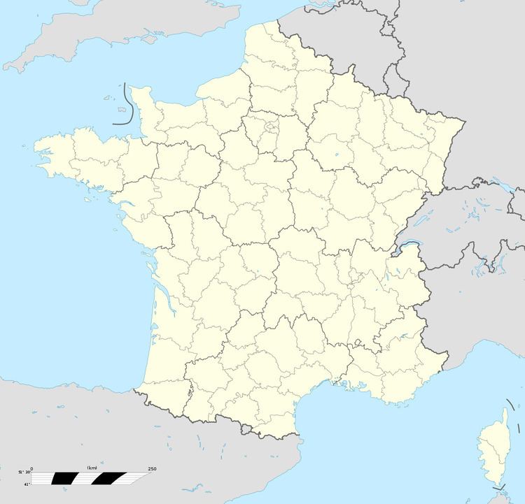
Map of 62270 Ligny-sur-Canche, France
Geography
Ligny-sur-Canche is situated 25 miles (40 km) west of Arras, at the junction of the D11 and the D941 roads, in the valley of the river Canche.
Places of interest
References
Ligny-sur-Canche Wikipedia(Text) CC BY-SA