Area 6.22 km² | Region Normandy Arrondissement Évreux Population (2008) 285 Local time Friday 5:28 PM | |
 | ||
Weather 11°C, Wind W at 18 km/h, 55% Humidity | ||
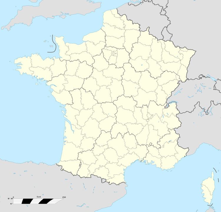
Lignerolles is a commune in the Eure department in Haute-Normandie in northern France.
Contents
Map of 27220 Lignerolles, France
World War II
After the liberation of the area by Allied Forces in 1944, engineers of the Ninth Air Force IX Engineering Command began construction of a combat Advanced Landing Ground outside of the town. Declared operational on 18 July, the airfield was designated as "A-12", it was used by several fighter groups which flew P-47 Thunderbolts until late August. Afterward, the airfield was used for resupply and casualty transport. It was closed in early November.
References
Lignerolles, Eure Wikipedia(Text) CC BY-SA
