
Population 361 (2011) Civil parish Lighthorne Local time Friday 3:16 PM Post town Warwick | OS grid reference SP 339 558 District Stratford-on-Avon Dialling code 01926 | |
 | ||
Weather 9°C, Wind SW at 24 km/h, 72% Humidity | ||
Queens 90th birthday celebrations in lighthorne by tamara peel
Lighthorne is a village and civil parish in Warwickshire, England. It is about 6 miles (9.7 km) south of Leamington Spa. The population taken at the 2011 census was 361.
Contents
- Queens 90th birthday celebrations in lighthorne by tamara peel
- Map of Lighthorne Warwick UK
- Lighthorne and harbury in the snow in the 1990 s
- References
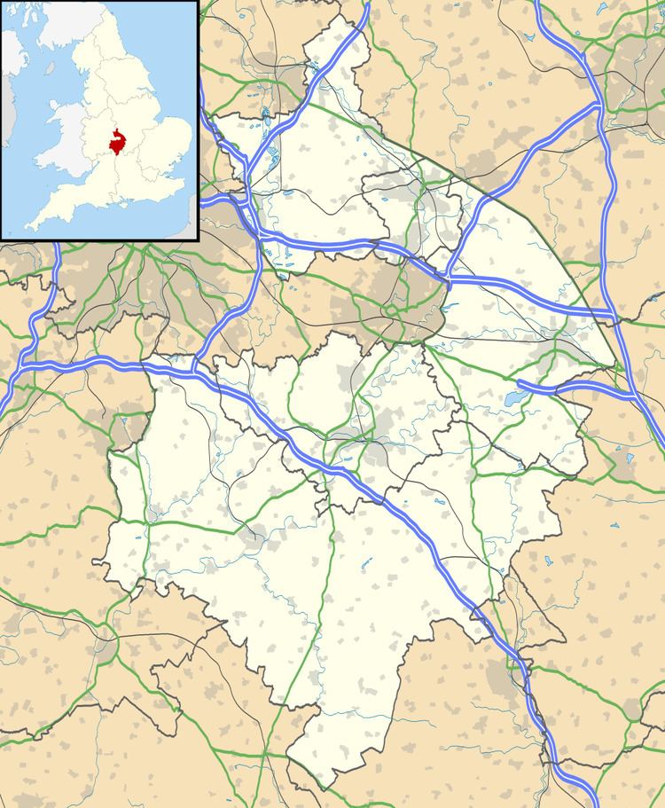
Map of Lighthorne, Warwick, UK
Lighthorne is a small village in a valley and is near Moreton Morrell, Kineton and Wellesbourne.
The first mention of a post office in the village is in October 1849, when a type of postmark known as an undated circle was issued. The parish church of St. Lawrence stands in a valley west of the village. It is built of stone in the late-13thcentury style but the west tower was rebuilt in 1771 and the remainder of the church in 1875–6.
In October 2008, Lighthorne Parish Council bought the telephone box in the village (which had been used only twice in three years) from the BT Group.