
District (Bezirk) Oberpullendorf Time zone CET (UTC+1) Area 7.97 km² | First mention 1390 Elevation 921 m Local time Friday 8:47 AM | |
 | ||
Weather 7°C, Wind SW at 6 km/h, 64% Humidity | ||
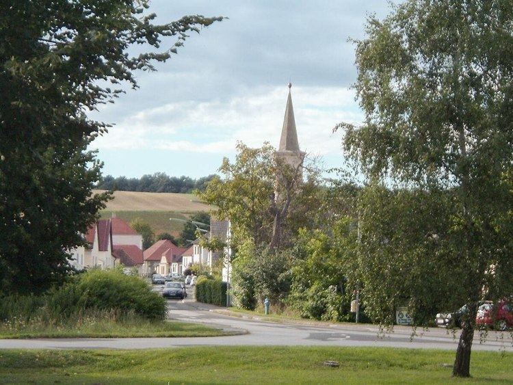
Liebing (Hungarian Rendek) is a village in the district of Oberpullendorf in Burgenland in Austria. It is part of the municipality of Mannersdorf an der Rabnitz.
Contents
Map of 7443 Liebing, Austria
Location
Liebing lies 6 km West of Kőszeg and 7km East of Lockenhaus.
History
The town was the site of iron smelting from the ancient times; the name of the town originates from the Slavic word for 'ironworker', rednek. The first written mention in the form Lennek comes from a document by Emperor Sigismund dated 1390. The town belonged to the estate of Lockenhaus castle. It was destroyed by the Ottomans in 1529 and 1532, but it was subsequently rebuilt.
In 1910, the town had a population of 310, most of whom were German speakers. Until the end of World War I, it belonged in the Kőszeg district of Vas county within the Kingdom of Hungary. Rendek was transferred to Austria in return for the town of Ólmod in 1923 subsequent to the Treaties of Saint-Germain and Trianon.