Suvarna Garge (Editor)

Liebenau, Upper Austria

Updated on
Edit
Like
Comment
Share on FacebookTweet on TwitterShare on LinkedInShare on Reddit
Country
  
Austria

District
  
Freistadt

Vehicle registration
  
FR

Elevation
  
970 m

Population
  
1,747 (1 Apr 2009)

Postal code
  
4252

State
  
Upper Austria

Time zone
  
CET (UTC+1)

Website
  
www.liebenau.at

Area
  
76.3 km²

Local time
  
Friday 8:36 AM

Area code
  
07953

Liebenau, Upper Austria httpsuploadwikimediaorgwikipediacommonsthu

Weather
  
6°C, Wind SW at 11 km/h, 54% Humidity

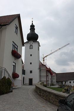
Liebenau is a municipality in the district of Freistadt in the Austrian state of Upper Austria.

Contents

Map of Liebenau, Austria

Localities

  • Eibenberg
  • Geierschlag
  • Glashütten
  • Hirschau
  • Kienau
  • Komau
  • Leopoldstein
  • Liebenstein
  • Maxldorf
  • Monegg
  • Neustift
  • Reitern
  • Schanz
  • Schöneben
  • Windhagmühl
  • References

    Liebenau, Upper Austria Wikipedia