
Time zone EAT (UTC+3) Number of airports 1 | Local time Friday 6:16 AM | |
 | ||
Weather 25°C, Wind E at 6 km/h, 81% Humidity | ||
Location
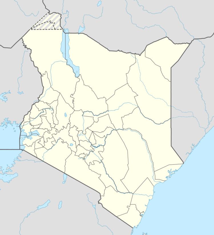
The town is located approximately 180 kilometres (112 mi), by road, north-east of Garissa, the location of the county headquarters. Liboi is located about 78 kilometres (48 mi) east of Dadaab. This is approximately 546 kilometres (339 mi), by road, northeast of Nairobi, the capital and largest city in Kenya. The coordinates of Liboi are:00°21'20.0"N, 40°52'32.0"E (Latitude:0.355557; Longitude:40.875549).
Overview
Liboi is an administrative location in Liboi division, one of eleven administrative divisions of the Garissa County. Liboi location has a total population of 11,440, as of 2009. Electorally Liboi is a ward and part of Dadaab Constituency. Liboi Airport, which lies within the town, serves Liboi and neighboring communities.
History
On 6 September 1940, Liboi was the site of fighting during World War II between Allied forces under British command and Italian colonial forces; the battle was an Italian victory. This was the first engagement of the war involving South African troops.
In the early 1990s, at the beginning of the Somali Civil War, Liboi was the site of a major refugee camp; in 1992, 50,000 Somalis were living near Liboi.