
Length 7.9 mi (12.7 km) | Maintained by NYCDOT | |
 | ||
West end Mother Gaston Boulevard in Brownsville | ||
Liberty Avenue is an 8-mile (13 km) long west-east avenue in Brooklyn and Queens, New York City. It is bidirectional for most of its length, running between Mother Gaston Boulevard in Brooklyn in the west and Farmers Boulevard in Queens in the east.
Contents
Map of Liberty Ave, New York, NY 11433, USA
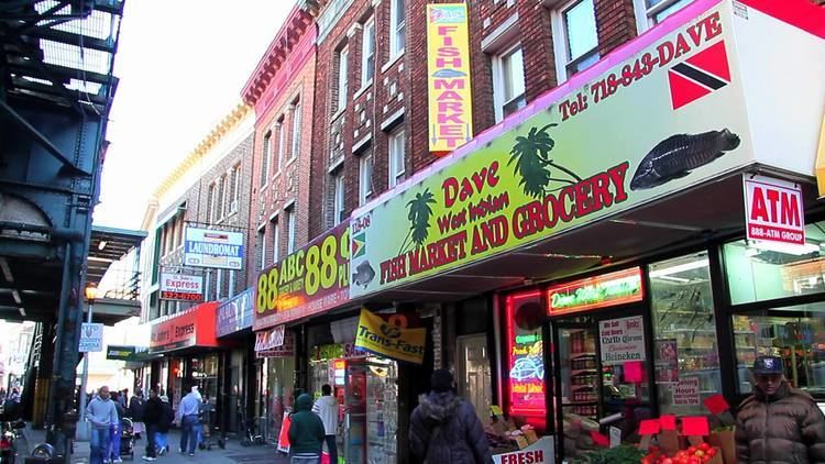
Liberty Avenue is known as "Little Guyana" because it mostly includes West Indians, Guyanese, and Trinidadian cultures/people there.
Transportation
The IND Fulton Street Line (A train) runs above the avenue between 80th Street and Lefferts Boulevard. Also, there is a station on the IND Fulton Street Line named Liberty Avenue (A C trains).
The Q83 and Q112 buses serve the street in Queens; no buses run along it in Brooklyn.
References
Liberty Avenue (New York City) Wikipedia(Text) CC BY-SA