Suvarna Garge (Editor)

Libertador General San Martín Department, San Luis

Updated on
Edit
Like
Comment
Share on FacebookTweet on TwitterShare on LinkedInShare on Reddit
Country
  
Argentina

Province
  
San Luis Province

Capital
  
San Martín, San Luis

Area
  
3,021 km²

Population
  
5,189 (2001)

Libertador General San Martín Department, San Luis

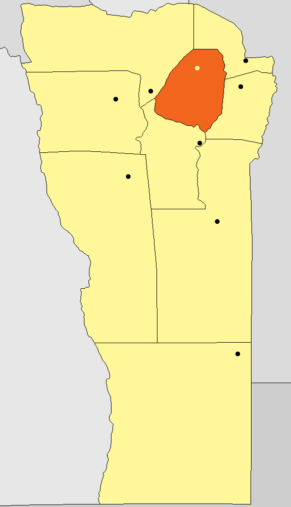
Libertador General San Martín is a Department of San Luis Province, Argentina.

Contents

Map of Libertador General San Mart%C3%ADn Department, San Luis Province, Argentina

With an area of 3,021 km2 (1,166 sq mi) it borders to the north with the Department of Junín, to the east with Chacabuco, to the south with Coronel Pringles and to the west with Ayacucho.

Municipalities

  • Las Aguadas
  • Las Chacras
  • Las Lagunas
  • Las Vertientes
  • Paso Grande
  • San Martín
  • Villa de Praga
  • Villages

  • Alsa
  • Bajo de Veliz
  • Barrancos Altos
  • Buena Vista
  • Cabeza de Novillo
  • Cañada Quemada
  • Cerros Largos
  • El Arenal
  • El Divisadero
  • El Estanquito
  • El Rincón
  • El Valle
  • Intihuasi
  • La Ciénaga
  • La Cocha
  • La Huerta
  • La Ramada
  • La Tolora
  • Las Lagunas
  • Los Comederos
  • Manantial
  • Mesilla del Cura
  • 9 de julio
  • Piedras Anchas
  • Potrerillo
  • Puerta Colorada
  • Quebrada de San Vicente
  • Rincón del Carmen
  • Rodeo Viejo
  • San Antonio
  • San Isidro
  • San Rafael
  • Tala Verde
  • References

    Libertador General San Martín Department, San Luis Wikipedia


    Similar Topics