Suvarna Garge (Editor)

Coronel Pringles Department, San Luis

Updated on
Edit
Like
Comment
Share on FacebookTweet on TwitterShare on LinkedInShare on Reddit
Argentina
  
Argentina

Population
  
12,571

Province
  
San Luis Province

Seat
  
La Toma

Area
  
4,484 km²

Coronel Pringles Department, San Luis

'Coronel Pringles is a department of San Luis Province, Argentina.

Contents

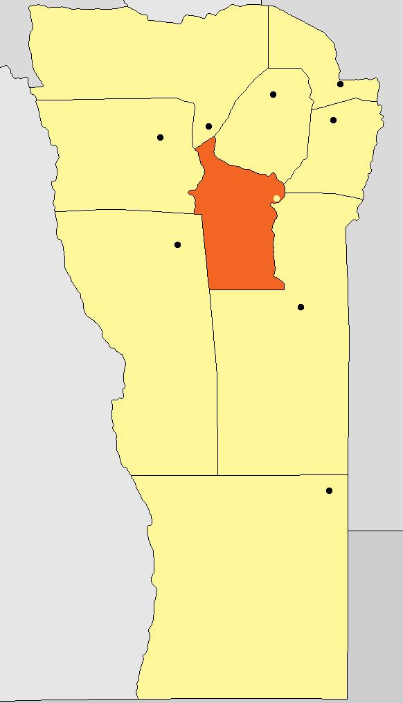
Map of Coronel Pringles Department, San Luis Province, Argentina

With an area of 4,484 km2 (1,731 sq mi) it borders to the north with the departments of Ayacucho and San Martín, to the east with Chacabuco and General Pedernera, to the south with Pedernera, and to the west with Juan Martín de Pueyrredón, and Belgrano.

Municipalities

  • Carolina
  • El Trapiche
  • Fraga
  • La Bajada
  • La Florida
  • La Toma
  • Riocito
  • Saladillo
  • Villages

  • Arroyo Barranquita
  • Balde de la Isla
  • Baldecitos
  • Cañada Honda
  • Comandante Granville
  • Cuatro Esquinas
  • El Amago
  • El Durazno
  • El Manantial
  • El Zapallar
  • Eleodoro Lobos
  • Juan Gez
  • La Arenilla
  • La Atalaya
  • La Cumbre
  • La Petra
  • La Puerta
  • Las Totoras
  • Los Membrillos
  • Los Pocitos
  • Pampa del Tamboreo
  • Paso de las Carretas
  • Paso del Rey
  • Puerta de Pancanta
  • Río Grande
  • San Gregorio
  • Valle de Pancanta
  • Virorco
  • El Guanaco
  • References

    Coronel Pringles Department, San Luis Wikipedia