Puneet Varma (Editor)

Lhatse County

Updated on
Edit
Like
Comment
Share on FacebookTweet on TwitterShare on LinkedInShare on Reddit
Country
  
China

Capital
  
Lhatse

Area
  
4,505 km²

Prefecture-level city
  
Xigazê

Time zone
  
China Standard (UTC+8)

Province
  
Tibet

Lhatse County chinatibetpeoplecomcnmediafile20090804P2009

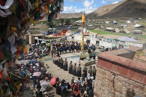
Lhatse County is a county of Xigazê in the Tibet Autonomous Region. It was established in 1959, with Lhatse Town as the county seat. In 1968, Quxia Town became the county seat.

Contents

Map of Lhatse, Xigaze, Tibet, China

Lhatse County, has a population of some 50,000 and is about 200 kilometers from Mount Everest (or Chomolungma). It is among the most impoverished counties in China.

Geography

  • Yarlung Zangbo River
  • Towns and townships

  • Lhazê Town (ལྷ་རྩེ་, 拉孜镇)
  • Quxar Town (ཆུ་ཤར་, 曲下镇)
  • Tashi Dzom Township (བཀྲ་ཤིས་འཛོམས་, 扎西宗乡)
  • Qoima Township (ཆོས་མ་, 曲玛乡)
  • Püncogling Township (ཕུན་ཚོགས་གླིང་, 彭措林乡)
  • Tashigang Township (བཀྲ་ཤིས་སྒང་, 扎西岗乡)
  • Liu Township (སླེའུ་, 柳乡)
  • Resa Township (རེ་ས་, 热萨乡)
  • Mangpu Township (མང་ཕུ་, 芒普乡)
  • Xiqên Township (གཞིས་ཆེན་, 锡钦乡)
  • Chau Township (གྲའུ་, 查务乡)
  • 482 natural villages
  • Transport

  • China National Highway 219
  • China National Highway 318
  • References

    Lhatse County Wikipedia


    Similar Topics