
South end: Lhasa Gonggar Airport | Length 37.8 km | |
 | ||
North end: Niu New Area, Liuwu Bridge Counties: Gonggar County, Qüxü County, Doilungdêqên District | ||
Lhasa Airport Expressway is an expressway that links Lhasa Gonggar Airport to the city of Lhasa, Tibet, China.
Contents
Map of Ji Chang Gao Su, Lasa Shi, Xizang Zizhiqu, China
Construction
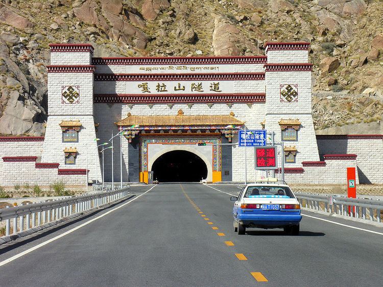
The expressway from Lhasa to Gongkar airport in Lhoka (Shannan) Prefecture is the first expressway in the Tibet Autonomous Region. Construction began in April, 2009. In May 2011 it was reported that the bridges and culverts were complete and tunnel construction was almost finished. 66% of the road was paved. The expressway was completed eleven months ahead of schedule early in July 2011 at a cost of 1.59 billion yuan. The opening ceremony was held on 17 July 2011. Vice President Xi Jinping cut the ribbons. Tibetan traditional dancers performed during the ceremony.
Description
The expressway is 37.8 kilometres (23.5 mi) long and has four lanes. It provides a link from metropolitan Lhasa's downtown to Gonggar Airport. The speed limit is 120 kilometres per hour (75 mph). Roadside lighting is solar powered. Travel time should be 30 minutes, half the time with the previous route. Formerly travelers from the airport used the congested China National Highway 318.