
Type Reservoir Surface area 750 acres (300 ha) Area 3.035 km² | Primary inflows Basin countries United States Surface elevation 580 m Inflow source Trinity River | |
 | ||
Water volume 14,660 acre·ft (18,080,000 m) Similar Trinity Lake, Trinity Dam, Lewiston Dam, Whiskeytown Lake, Box Canyon Dam | ||
Lewiston Lake is a reservoir impounded by Lewiston Dam on the Trinity River, in Trinity County, California.
Contents
Map of Lewiston Lake, California 96052, USA
GeographyEdit
Lewiston Lake is near the towns of Weaverville and Lewiston in Trinity County, California.
It is used for transbasin diversion to the Sacramento River and flood control, as well as for hydroelectric generation. It is in the canyon between the Trinity Mountains and Marble Mountains of the southern Klamath Mountains System.
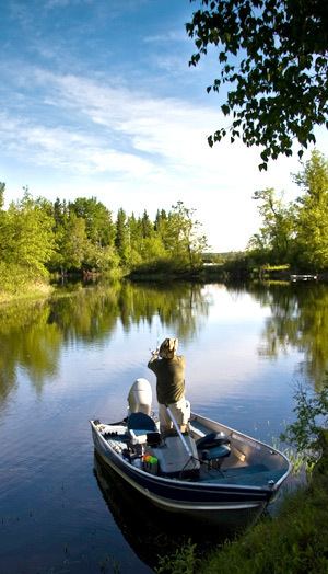
RecreationEdit
Lewiston reservoir is within the Trinity Unit of the Whiskeytown-Shasta-Trinity National Recreation Area, in the Shasta-Trinity National Forest. It is a popular destination for fishing, kayaking, and camping.
References
Lewiston Lake Wikipedia(Text) CC BY-SA