
Max. length 25 miles (40 km) Length 25 km Inflow source Missouri River | Primary inflows Area 125.5 km² Outflow location Missouri River | |
 | ||
Surface area 31,000 acres (13,000 ha) | ||
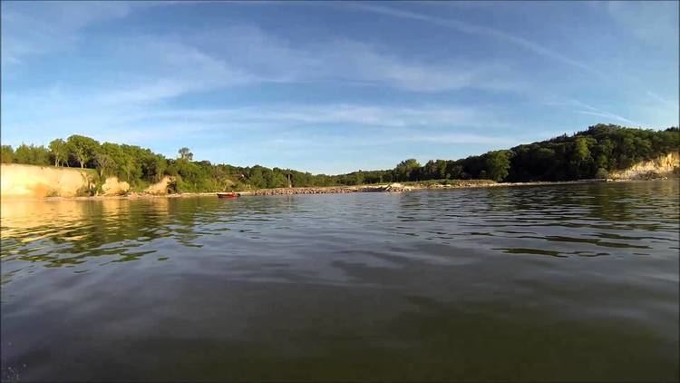
Lewis and Clark Lake is an impoundment on the Missouri River above Gavins Point Dam, near Yankton, South Dakota. It is located on the border of South Dakota and Nebraska. The reservoir is approximately 25 miles (40 km) long, with a surface area of 31,000 acres (130 km²); it has a maximum depth of 45 feet (14 m). It is the smallest of the Pick-Sloan Plan impoundments, and has been plagued with siltation problems. Lewis and Clark Lake (with Gavins Point Dam) is a very popular for camping as a regional tourist destination, having hosted over one million visitors per year.
Map of Lewis and Clark Lake, United States
References
Lewis and Clark Lake Wikipedia(Text) CC BY-SA