
Country United States County Essex FIPS code 36-42114 Elevation 207 m Population 1,382 (2010) Area code 518 | State New York Time zone Eastern (EST) (UTC-5) GNIS feature ID 0979143 Zip code 12950 Local time Thursday 12:19 PM | |
 | ||
Weather -5°C, Wind NW at 16 km/h, 48% Humidity Area 220.1 km² (219.6 km² Land / 52 ha Water) | ||
Lewis is a town in Essex County, New York, United States. The population was 1,382 at the 2010 census. The town is named after Morgan Lewis, the governor of New York at the time the town was established.
Contents
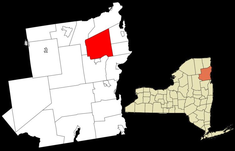
- Map of Lewis NY 12950 USA
- History
- Notable residents
- Geography
- Demographics
- Communities and locations in Lewis
- References
Map of Lewis, NY 12950, USA
The town is in the northeast quarter of the county. It is 30 miles (48 km) southwest of Burlington, Vermont, 32 miles (51 km) south of Plattsburgh, 94 miles (151 km) south of Montreal, Quebec, and 131 miles (211 km) north of Albany.
History
Settlement began before 1798 near Lewis village.
The town of Lewis was established in 1805 from a section of the town of Willsboro. Part of Lewis was taken in 1844 and 1854 to increase the size of the town of Elizabethtown.
Iron mining was an important early industry. Both Stowersville and Deerhead were communities based on the iron industry.
The First Congregational Church and Cemetery was listed on the National Register of Historic Places in 2005.
Notable residents
Geography
According to the United States Census Bureau, the town has a total area of 85.0 square miles (220.1 km2), of which 84.8 square miles (219.6 km2) is land and 0.2 square miles (0.5 km2), or 0.25%, is water. The town is drained by tributaries of the Boquet River, flowing east to Lake Champlain.
Lewis is inside the Adirondack Park.
The Northway, Interstate 87, is a major multilane north-south highway, with access from Exit 32 (Stowersville Road). U.S. Route 9 is a north-south highway that passes through the center of town.
The results of Proposition 5 being passed in the November 5th election of 2013 showed New York State to have successfully exchanged 200 acres of land with NYCO Minerals Inc., who will mine said land. The Land was estimated to be worth roughly 1 million dollars.
Demographics
At the 2000 census, there were 1,200 people, 475 households and 341 families residing in the town. The population density was 14.2 per square mile (5.5/km²). There were 620 housing units at an average density of 7.3 per square mile (2.8/km²). The racial makeup of the town was 99.25% White, 0.17% African American, 0.25% Native American, 0.08% from other races, and 0.25% from two or more races. Hispanic or Latino of any race were 0.08% of the population.
There were 475 households of which 33.9% had children under the age of 18 living with them, 56.0% were married couples living together, 10.7% had a female householder with no husband present, and 28.2% were non-families. 21.3% of all households were made up of individuals and 6.7% had someone living alone who was 65 years of age or older. The average household size was 2.53 and the average family size was 2.91.
Age distribution was 27.3% under the age of 18, 5.3% from 18 to 24, 29.9% from 25 to 44, 25.9% from 45 to 64, and 11.5% who were 65 years of age or older. The median age was 38 years. For every 100 females there were 110.2 males. For every 100 females age 18 and over, there were 103.7 males.
The median household income was $36,750, and the median family income was $37,778. Males had a median income of $28,950 versus $21,750 for females. The per capita income for the town was $17,030. About 5.5% of families and 8.1% of the population were below the poverty line, including 11.2% of those under age 18 and 10.2% of those age 65 or over.