
Country United States County Montezuma GNIS feature ID 0202602 Area 8.1 km² Population 302 (2010) Area code 970 | Time zone MST (UTC-7) Elevation 2,048 m Zip code 81327 Local time Thursday 10:19 AM | |
 | ||
Weather 14°C, Wind SE at 6 km/h, 30% Humidity | ||
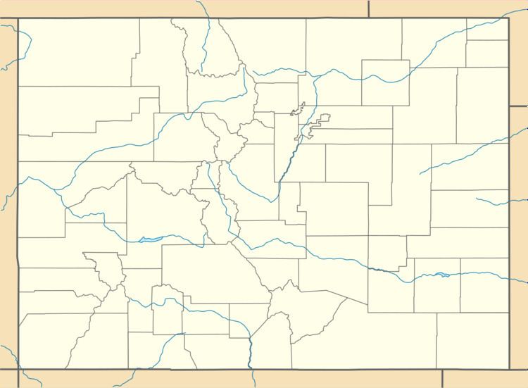
Lewis is an unincorporated town and census-designated place (CDP) in Montezuma County, Colorado, United States. As of the 2010 census, it had a population of 302. The Lewis Post Office has the ZIP Code 81327.
Contents
Map of Lewis, CO 81327, USA
Geography
Lewis is located at 37°30′03″N 108°40′06″W (37.500738,-108.668346).
References
Lewis, Colorado Wikipedia(Text) CC BY-SA