
 | ||
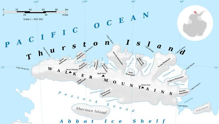
Levko Glacier (72°25′S 96°2′W) is a glacier flowing from Pallid Crest to the eastern end of Thurston Island, Antarctica. It enters Seraph Bay between Tierney Peninsula and Simpson Bluff. The glacier was named by the Advisory Committee on Antarctic Names after G. Levko, Photographer's Mate in the Eastern Group of U.S. Navy Operation Highjump, which obtained aerial photographs of Thurston Island and adjacent coastal areas, 1946–47.
Contents
Map of Levko Glacier, Antarctica
Maps
References
Levko Glacier Wikipedia(Text) CC BY-SA