
Local time Thursday 1:36 PM | Area 4.11 km² Population 1,810 (2007) | |
 | ||
Weather 16°C, Wind S at 14 km/h, 47% Humidity | ||
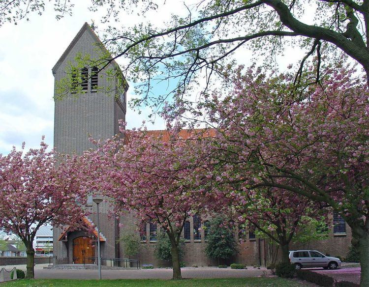
Leuth is a village in the Dutch province of Gelderland. It is located in the municipality of Berg en Dal, about 10 km east of Nijmegen.
Contents
Map of Leuth, Netherlands
Leuth was founded on a sandbank in the floodplain marshes north of the river Waal. The earliest mention of the settlement, named Lotde, dates back to 891 and 892. The village belonged until 1815 to Prussia; Leuth was a separate municipality until about 1814. It became a part of the Prussian municipality Niel, until it was transferred back to the Netherlands in 1817, as a part of the municipality of Ooij en Persingen, which later has become a part of the municipality of Ubbergen.
During the second war world Leuth was severely affected. The centre of the original village was almost entirely destroyed.
The village has a small shopping centre and a primary school.