
Intercommunality Flandre Lys Area 21.15 km² Local time Thursday 5:03 AM | Canton Laventie Time zone CET (UTC+1) Population 3,789 (1999) | |
 | ||
Weather 4°C, Wind S at 3 km/h, 99% Humidity | ||
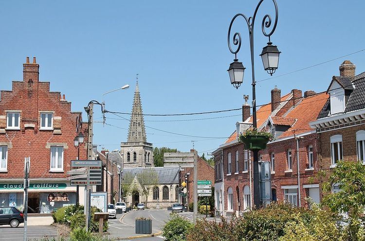
Lestrem is a commune in the Pas-de-Calais department in the Hauts-de-France region of France.
Contents
Map of 62136 Lestrem, France
Geography
A small farming and light industrial town, situated some 8 miles (12.9 km) north of Béthune and 19 miles (30.6 km) west of Lille, on the D122, D178 and D975 roads, by the banks of the Lawe River.
History
The town was all but destroyed during the First World War.
In 1940, the small hamlet of Le Paradis, on the south side of the commune, was the scene of a massacre of British troops of the BEF, during the Battle of France. The town is twinned with swanland in the East Riding of Yorkshire, England.
Places of interest
References
Lestrem Wikipedia(Text) CC BY-SA