
District Třebíč Elevation 444 m Population 89 (2006) | Postal code 675 73 Area 3.19 km² | |
 | ||
T bor 2009 lesn jakubov
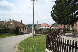
Lesní Jakubov is a village and municipality (obec) in Třebíč District in the Vysočina Region of the Czech Republic.
Contents
Map of 675 73 Lesn%C3%AD Jakubov, Czechia
The municipality covers an area of 3.19 square kilometres (1.23 sq mi), and has a population of 89 (as at 3 July 2006).
Lesní Jakubov lies approximately 27 kilometres (17 mi) east of Třebíč, 53 km (33 mi) south-east of Jihlava, and 164 km (102 mi) south-east of Prague.
References
Lesní Jakubov Wikipedia(Text) CC BY-SA