
Rural localities 9 Area 523 km² | Administrative center selo of Anzorey Urban settlements 0 | |
 | ||
Federal subject Kabardino-Balkar Republic Municipally incorporated as | ||
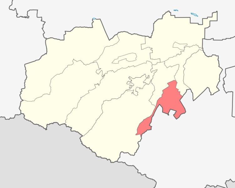
Leskensky District (Russian: Лескенский райо́н; Kabardian: Лэскэн къедзыгъуэ; Karachay-Balkar: Лескен район) is an administrative and a municipal district (raion), one of the ten in the Kabardino-Balkar Republic, Russia. It is located in the southeast of the republic. The area of the district is 523.06 square kilometers (201.95 sq mi). Its administrative center is the rural locality (a selo) of Anzorey. As of the 2010 Census, the total population of the district was 27,840, with the population of Anzorey accounting for 23.5% of that number.
Contents
- Map of Leskensky District Kabardino Balkaria Russia
- History
- Administrative and municipal status
- References
Map of Leskensky District, Kabardino-Balkaria, Russia
History
The district was established in 2003.
Administrative and municipal status
Within the framework of administrative divisions, Leskensky District is one of the ten in the Kabardino-Balkar Republic and has administrative jurisdiction over all of its nine rural localities. As a municipal division, the district is incorporated as Leskensky Municipal District. Its nine rural localities are incorporated into nine rural settlements within the municipal district. The selo of Anzorey serves as the administrative center of both the administrative and municipal district.