Kalpana Kalpana (Editor)

Les Terres de Chaux

Updated on
Edit
Like
Comment
Share on FacebookTweet on TwitterShare on LinkedInShare on Reddit
Country
  
France

Arrondissement
  
Montbéliard

Intercommunality
  
Saint-Hippolyte

Local time
  
Thursday 1:14 AM

Department
  
Doubs

Canton
  
Saint-Hippolyte

Area
  
14.49 km²

Population
  
132 (2009)

Les Terres-de-Chaux

Region
  
Bourgogne-Franche-Comté

Weather
  
5°C, Wind SE at 6 km/h, 85% Humidity

Les Terres-de-Chaux is a commune in the Doubs department in the Bourgogne-Franche-Comté region in eastern France.

Contents

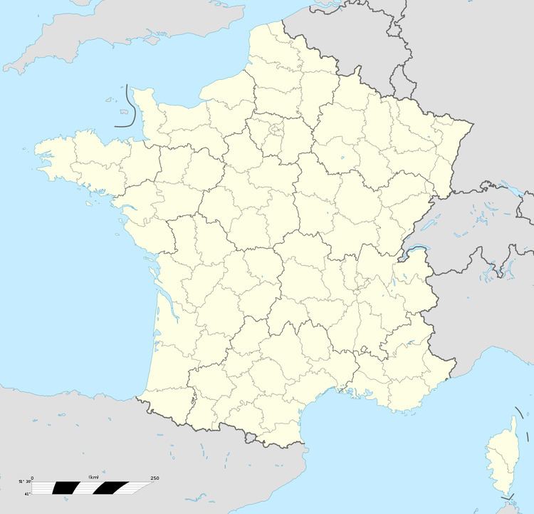
Map of 25190 Les Terres-de-Chaux, France

Geography

The commune lies 12 km (7.5 mi) northeast of Saint-Hippolyte.

Sights and monuments

  • The church of Saint-Léger was probably built in the 12th century. The nave and choir were altered in the 14th century. Side chapels were added in the 16th and 17th centuries and a sacristy to the south of the choir between 1760 et 1765. The choir contains murals from the 15th or 16th centuries. The church has been listed since 1936 as a monument historique by the French Ministry of Culture.
  • References

    Les Terres-de-Chaux Wikipedia