Area 50.17 km² | Local time Wednesday 11:56 PM | |
 | ||
Intercommunality Communauté de communes de Triaucourt Vaubecourt Weather 4°C, Wind NE at 5 km/h, 100% Humidity | ||
Les Hauts-de-Chée is a commune in the Meuse department in Grand Est in north-eastern France.
Contents
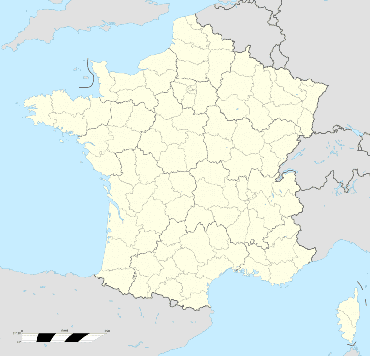
Map of 55000 Les Hauts-de-Ch%C3%A9e, France
The former towns of Génicourt-sous-Condé, Hargeville-sur-Chée, Louppy-sur-Chée (Loppy-le-Petit) and Les Marats (Marat-la-Grande, Marat-la-Petite) were joined to Condé-en-Barrois on 20 June 1972, which subsequently changed its name to Les Hauts-de-Chée on 1 July 1972.
Geography
The river Chée rises in the eastern part of the commune, then flows westward through the middle of the commune, crossing through several villages and hamlets.
References
Les Hauts-de-Chée Wikipedia(Text) CC BY-SA
