
Effective December 4, 1991 Time zone EST (UTC−5) Population 46,393 (2011) Area code 819 | Area 2,199 km² Province Québec | |
 | ||
Website www.mrcdescollinesdeloutaouais.qc.ca Points of interest Gatineau Park, Camp Fortune, Meech Lake, Pink Lake, Lac Phillipe Destinations | ||
Les Collines-de-l'Outaouais (French for "The hills of the Outaouais") is a regional county municipality in the Outaouais region of western Quebec, Canada. The region nearly encircles the City of Gatineau which is to the south. Its administrative seat is in Chelsea, Quebec.
Contents
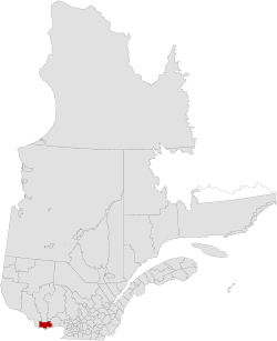
- Map of Les Collines de lOutaouais Regional County Municipality QC Canada
- Subdivisions
- Access Routes
- References
Map of Les Collines-de-l'Outaouais Regional County Municipality, QC, Canada
It was created in January 1991 when the Communauté régionale de l'Outaouais (Outaouais Regional Community) was split into Les Collines-de-l'Outaouais RCM and the Communauté urbaine de l'Outaouais (Outaouais Urban Community, now City of Gatineau). The region is home to the majority of Gatineau Park. It is bisected by the Gatineau River which flows from north to south. The Ottawa River forms the southwestern boundary.
Subdivisions
There are 7 subdivisions within the RCM:
Access Routes
Highways and numbered routes that run through the municipality, including external routes that start or finish at the county border: