
Time zone CET (UTC+1) Area 4.28 km² Population 60 (1999) | Region Normandy INSEE/Postal code 14031 /14140 Local time Wednesday 10:45 PM | |
 | ||
Weather 8°C, Wind N at 3 km/h, 95% Humidity | ||
Les Authieux-Papion is a former commune in the Calvados department in the Normandy region of north-western France. On 1 January 2017, it was merged into the new commune Mézidon Vallée d'Auge.
Contents
- Map of 14140 Les Authieux Papion France
- Geography
- Administration
- Demography
- Sites and monuments
- References
Map of 14140 Les Authieux-Papion, France
Geography
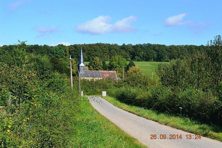
Les Authieux-Papion is located some 14 km south-west of Lisieux and 11 km north-east of Saint-Pierre-sur-Dives. The D47 road runs along the northern border of the commune from Mézidon-Canon in the west to join the D511 which runs down the eastern border of the commune from Saint-Julien-le-Faucon in the north-east to Saint-Pierre-sur-Dives in the south-west. Access to the village is by local roads off these two roads. There is a large forest towards the south (the Bois des Authieux) and another large forest in the north with the rest of the commune farmland.
The Viette river flows through the centre of the commune from east to west as it flows west then north to join the Vie at Le Mesnil-Mauger.
Administration
List of Successive Mayors
(Not all data is known)
Demography
In 2010 the commune had 62 inhabitants. The evolution of the number of inhabitants is known from the population censuses conducted in the commune since 1793. From the 21st century, a census of communes with fewer than 10,000 inhabitants is held every five years, unlike larger communes that have a sample survey every year.
Sources : Ldh/EHESS/Cassini until 1962, INSEE database from 1968 (population without double counting and municipal population from 2006)
Sites and monuments
In the Parish Church of Saint-Philbert there is a Statue: Virgin and child (15th century) which is registered as an historical object.