Intercommunality Sud-Ouest du Calaisis Area 20.81 km² | Population (2009) 2,000 Local time Wednesday 10:44 PM | |
 | ||
Weather 8°C, Wind S at 6 km/h, 92% Humidity | ||
Les Attaques is a commune in the Pas-de-Calais department in the Hauts-de-France region of France.
Contents
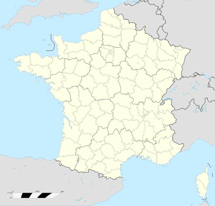
Map of Les Attaques, France
Geography
A large farming and light industrial village located 4 miles (6 km) southeast of Calais, at the junction of the N43 and D248 roads. Both the A26 ‘autoroute des Anglaises’ and the Calais-St. Omer canal pass through the commune.
Sights
References
Les Attaques Wikipedia(Text) CC BY-SA
