
Population (2010) 654 Area 14.88 km² | Canton Vans Time zone CET (UTC+1) Local time Wednesday 10:44 PM | |
 | ||
Weather 12°C, Wind NW at 8 km/h, 56% Humidity | ||
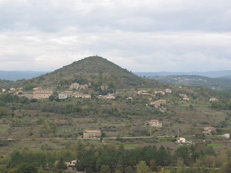
Les Assions is a French commune in the Ardèche department in the Auvergne-Rhône-Alpes region of southern France.
Contents
- Map of 07140 Les Assions France
- Geography
- Administration
- Demography
- Distribution of Age Groups
- Sites and monuments
- References
Map of 07140 Les Assions, France
The inhabitants of the commune are known as Assionais or Assionaises.
Geography
Les Assions is located some 35 km south-west of Aubenas and 5 km north-east of Les Vans. Access to the commune is by the D104A road from Lablachère in the north passing through the heart of the commune just east of the village and continuing south to join the D295 near Vompdes. The D452 branches off the D104A in the commune and goes east by a circuitous route to the Village de Vacances Francaises de Casteljau. The D104 from Lablachère to Saint-Paul-le-Jeune forms the eastern border of the commune. Access to the village is by a country road (Le Village) branching north from the D104A in the south of the commune. Apart from the village there are the hamlets of Le Bosc in the west, Le Bourel and La Ribeyrie to the north-east and Champetier-Haut in the north. The commune east of the Salindres river is mostly wasteland and forest while the west side is mostly forest with farmland and residential areas.
The Chassezac river forms the southern border of the commune as it flows east to join the Ardeche at Saint-Alban-Auriolles. The Riviere de Salindres flows south through the commune to join the Chassezac and several other tributaries rise in the commune and flow into the Chassezac.
Administration
List of Successive Mayors
(Not all data is known)
Demography
In 2010 the commune had 654 inhabitants. The evolution of the number of inhabitants is known from the population censuses conducted in the commune since 1793. From the 21st century, a census of communes with fewer than 10,000 inhabitants is held every five years, unlike larger towns that have a sample survey every year.
Sources : Ldh/EHESS/Cassini until 1962, INSEE database from 1968 (population without double counting and municipal population from 2006)
Distribution of Age Groups
The population of the town is relatively old. The ratio of persons above the age of 60 years (30.8%) is higher than the national average (21.6%) and the departmental average (26.8%). As with national and departmental allocations, the male population of the town is less than the female population (48.8% against 48.4% nationally and 48.2% at the departmental level).
Percentage Distribution of Age Groups in Les Assions and Ardèche Department in 2010
Sources:
Sites and monuments
The Church of Saint-Apollinaire contains three items that are registered as historical objects: