
 | ||
Lepitsa Peak (Bulgarian: връх Лепица, ‘Vrah Lepitsa’ \'vr&h le-'pi-tsa) is the ice-covered peak rising to 1110 m in the northeast foothills of Detroit Plateau on Trinity Peninsula in Graham Land, Antarctica. It is situated on the west side of Zlidol Gate, surmounting the head of Russell West Glacier to the north, and the upper course of Victory Glacier to the southeast.
Contents
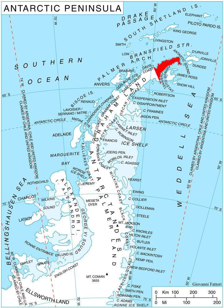
Map of Lepitsa Peak, Antarctica
The peak is named after the settlement of Lepitsa in Northern Bulgaria.
Location
Lepitsa Peak is located at 63°44′30″S 58°38′29″W, which is 2.19 km east-southeast of Mount Schuyler, 2.88 km south-southeast of Sirius Knoll, 1.49 km west-southwest of Belgun Peak and 5.75 km northwest of Bozveli Peak in Trakiya Heights, and 3.42 km north-northeast of Skoparnik Bluff. German-British mapping in 1996.