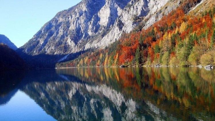
Type Mountain lake Max. width 370 metres (1,210 ft) Surface elevation 628 m Width 370 m | Basin countries Austria Max. depth 31 metres (102 ft) Length 1.4 km | |
 | ||
Max. length 1,400 metres (4,600 ft) | ||
The Leopoldsteinersee is a mountain lake in Styria, in the east of Austria, about 4 kilometres (2.5 mi) northwest of the city of Eisenerz. The lake is named after the nearby Leopoldstein Castle.
Contents
Map of Leopoldsteinersee, 8790 Eisenerz, Austria
DescriptionEdit
The Leopoldsteinersee is situated at 628 metres (2,060 ft) above sea level at the foot of the Seemauer in the western Hochschwab range. The lake is 1,400 metres (4,600 ft) long and 370 metres (1,210 ft) wide. The maximum depth is 31 metres (102 ft). The river Seebach feeds the lake, but it is mainly fed by underground springs. The lake is surrounded by rugged mountains with mixed or coniferous forests. A 3 kilometres (1.9 mi) hiking trail circles the lake. There is a local outfit that rents electric or rowing boats.
LegendEdit
The people near the lake have a legend that a merman was caught in the lake. To buy his freedom he showed his captors the iron deposits at Erzberg. Then he disappeared into the Wassermannsloch.
