
Vehicle registration FR Elevation 630 m Population 1,048 (1 Apr 2009) Postal code 4262 | Time zone CET (UTC+1) Website www.leopoldschlag.at Area 25.67 km² Local time Wednesday 5:08 PM Area code 07949 | |
 | ||
Weather 9°C, Wind W at 8 km/h, 69% Humidity | ||
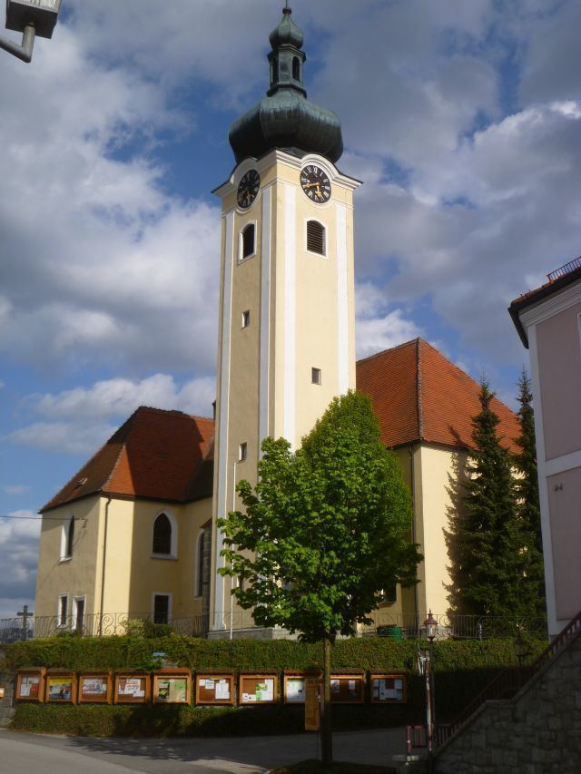
Leopoldschlag is a municipality in the district of Freistadt in the Austrian state of Upper Austria. It is located on the European continental divide between the watershed of the Elbe and the Danube, on the border with the Czech Republic.
Map of 4262 Leopoldschlag, Austria
References
Leopoldschlag Wikipedia(Text) CC BY-SA