
Elevation 201 m Population 765 (2010) | GNIS feature ID 0453547 Area 83.84 km² Local time Wednesday 10:59 AM | |
 | ||
ZIP codes 47514, 47515, 47520, 47525, 47551, 47576, 47586 Weather -2°C, Wind NW at 21 km/h, 47% Humidity | ||
Leopold Township is one of seven townships in Perry County, Indiana, United States. As of the 2010 census, its population was 765 and it contained 319 housing units.
Contents
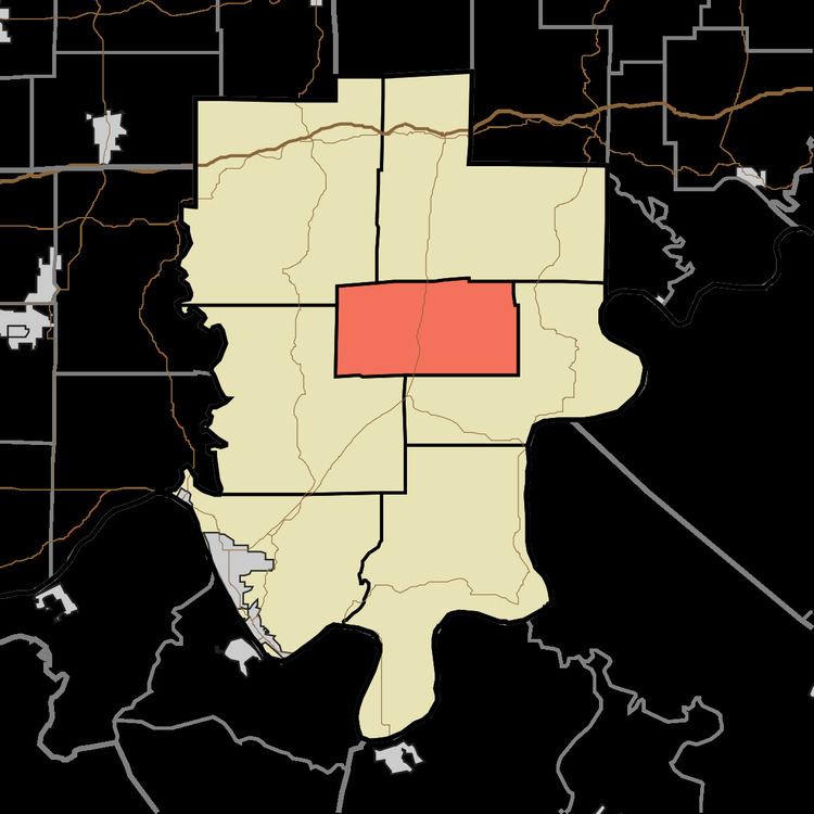
- Map of Leopold Township IN USA
- History
- Geography
- Unincorporated towns
- Cemeteries
- Major highways
- Lakes
- School districts
- Political districts
- References
Map of Leopold Township, IN, USA
History
Leopold Township was established in 1847, and named after Leopold I of Belgium.
Geography
According to the 2010 census, the township has a total area of 32.37 square miles (83.8 km2), of which 32.11 square miles (83.2 km2) (or 99.20%) is land and 0.26 square miles (0.67 km2) (or 0.80%) is water.
Unincorporated towns
(This list is based on USGS data and may include former settlements.)
Cemeteries
The township contains these five cemeteries: Frakes, Lanman, Rennie, Rhodes and Saint Johns.
Major highways
Lakes
School districts
Political districts
References
Leopold Township, Perry County, Indiana Wikipedia(Text) CC BY-SA