
 | ||
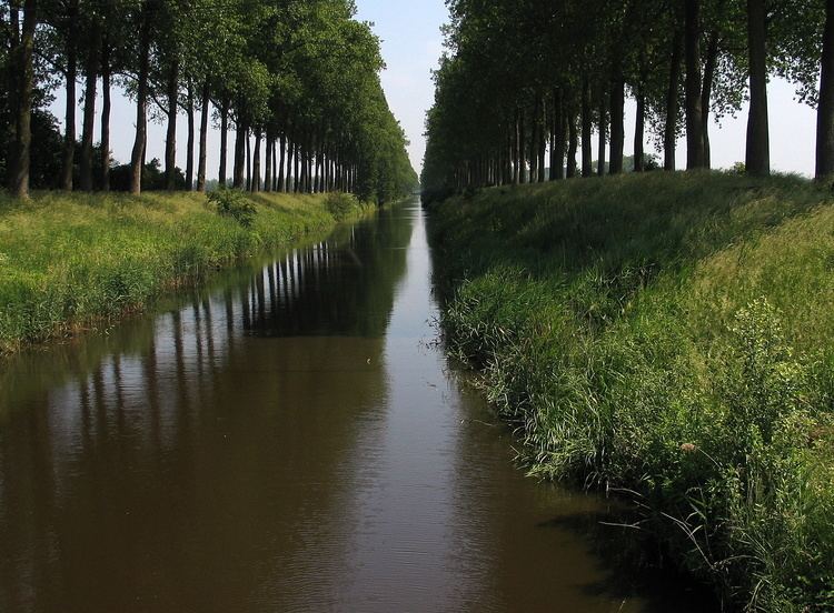
The Leopold Canal (Dutch: Leopoldkanaal or Leopoldvaart, French: Canal Léopold) is a canal in northern Belgium. Construction occurred between 1847 and 1850 after the Belgian government granted permission in 1846. It runs about 40 km (25 mi) westward from Boekhoute to Heist-aan-Zee just south of the Dutch border. It is between 1.2 and 2.3 m (3 ft 11 in and 7 ft 7 in) deep. The canal was proposed by Canon Joseph Andries, local member of the Belgian National Congress, to prevent the Dutch from blocking the discharge of water and inundating the Meetjesland after Belgium's independence from the Netherlands.
Map of Leopold Canal, Belgium
It is claimed to have drained 360 km2 (140 sq mi) of arable land. This canal was a major line of German resistance during the Battle of the Scheldt in World War II.