
Time zone CET/CEST (UTC+1/+2) Area 47.16 km² Postal code 08485 Dialling code 037606 | Elevation 403 m (1,322 ft) Postal codes 08485 Population 7,783 (31 Dec 2008) Local time Wednesday 12:09 PM | |
 | ||
Weather 11°C, Wind NW at 19 km/h, 63% Humidity | ||
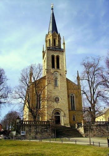
Lengenfeld is a town in the Vogtlandkreis district, in the Free State of Saxony, Germany. During World War II, a subcamp of Flossenbürg concentration camp was located here. The town is situated 19 km southwest of Zwickau, and 18 km northeast of Plauen.
Map of Lengenfeld, Germany
References
Lengenfeld Wikipedia(Text) CC BY-SA