
Peak Actress Width 21 km (13 mi) E/W Elevation 2,514 m | Length 38 km (24 mi) N/S | |
 | ||
The Lemon Range or Lemon Mountains (Danish: Lemon Bjerge) is a mountain range in King Christian IX Land, eastern Greenland. Administratively this range is part of the Sermersooq Municipality.
Contents
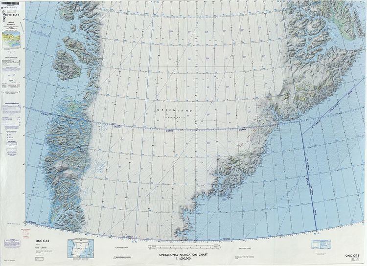
Map of Lemon Bjerge, Greenland
History
The range was named by Gino Watkins after Captain Percy Lemon (1898–1932) of the Royal Corps of Signals, a member of the 1930-31 British Arctic Air Route Expedition led by Watkins.
Although not as high as the Watkins Range to the east or the Lindbergh Range to the northeast, the Lemon Range has become a popular place among climbers because it has some of the steepest rock peaks in Greenland and the quality of the granite is good. A number of the main summits of the range were climbed for the first time by Chris Bonington in the 1990s.
Geography
The Lemon Range is an up to 2,500 m high mountain massif made up of nunataks. It is located among the glaciers east of Courtauld Glacier which has its terminus in the Cortauld Fjord, an arm of Kangerlussuaq Fjord, East Greenland, and west of Frederiksborg Glacier which flows roughly southwards with its terminus in the Watkins Fjord further south. The area of the range is uninhabited.
Glaciers
Besides the Courtauld Glacier and Frederiksborg Glacier that limit the range, the following glaciers lie within the boundaries of the Lemon Mountains:
Climate
Polar climate prevails in the region. The average annual temperature in the area of the Lemon Range is -14° C. The warmest month is July when the average temperature reaches -2° C and the coldest is February when the temperature sinks to -22° C.