
Country Philippines Established 1947 Time zone PST (UTC+8) Province Iloilo | Legislative district 5th district of Iloilo Barangays Area 119.9 km² Dialling code 33 | |
 | ||
Region Western Visayas (Region VI) | ||
Help for san antonio lemery iloilo philippines
Lemery is a fourth class municipality in the province of Iloilo, Philippines. According to the 2015 census, it has a population of 30,851 people.
Contents
- Help for san antonio lemery iloilo philippines
- Map of Lemery Iloilo Philippines
- Lemery iloilo independence day june 2013
- Barangays
- Demographics
- References
Map of Lemery, Iloilo, Philippines
Lemery was created from the barrios of Lemery, Tabunan, Tuburan, Nagsulang, Daga, Tuguis, Singcua, Agpipili, Pacuan, Milan, Alagiñgay, Tuga, Bajo, San Antonio, Capeñahan, Bankal, Geroñgan, Omio, Nasapahan, Abuac-Dalipe, San Jose, Cabangtohan, Dapdapan, Butuan, Anabo, and Buenavista from the municipality of Sara by virtue of Republic Act No. 197, enacted June 22, 1947. It was named after Spanish governor-general José Lemery e Ibarrola Ney y González.
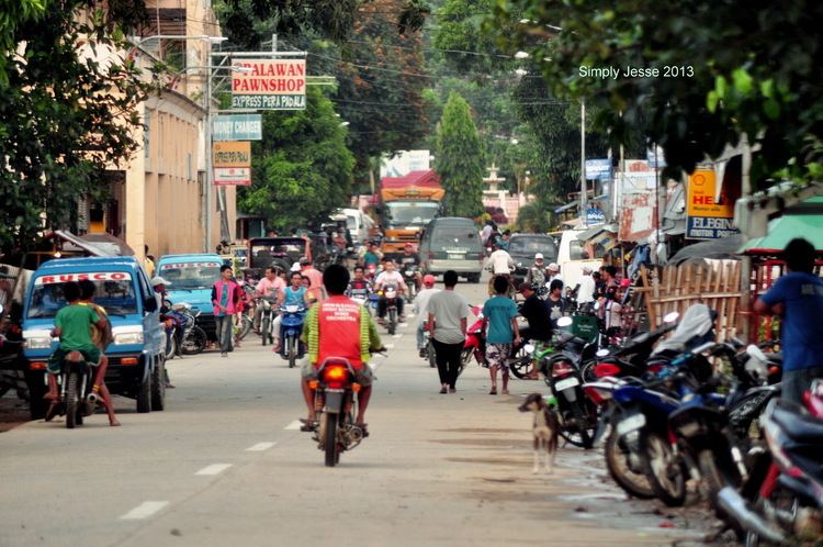
Lemery iloilo independence day june 2013
Barangays
Lemery is politically subdivided into 31 barangays.
Demographics
In the 2015 census, the population of Lemery, Iloilo, was 30,851 people, with a density of 260 inhabitants per square kilometre or 670 inhabitants per square mile.