
Area 230 km² | Province/Island São Tomé Time zone UTC (UTC+0) Population 15,370 (2012) | |
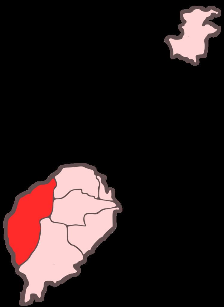 | ||
Lembá is a district of São Tomé Province. It is one of the seven districts that make up the equatorial Atlantic island group of São Tomé and Príncipe. It has the westernmost point in the country. It is the second largest in terms of area, covering approximately 230 square kilometers. Its population is 15,370 (2012). The district capital is Neves.
Contents
- Map of Lemba SC3A3o TomC3A9 and PrC3ADncipe
- Population
- Settlements
- Other settlements
- Geography
- Fauna
- References
Map of Lemba, S%C3%A3o Tom%C3%A9 and Pr%C3%ADncipe
Population
Settlements
The main settlement is the town Neves. Other settlements are:
Other settlements
Other hamlets, fractions and sections include:
Geography
The district has always been completely forested. Agricultural plantations and built up areas also dominates the district. Formerly founded throughout the island, wildlife are still founded in many parts of the district including the southern part.
One of the main streams of the district is the Rio Xufexufe. Other stream include Morango. One of the beaches in the district include Palma and Pira.
Fauna
Numerous endemic fauna include the São Tomé fiscal (Lanius newtoni)