
Population 150 (2011 Census) Local time Wednesday 7:30 AM Post town Banbridge | Sovereign state United Kingdom Province Ulster | |
 | ||
Weather 6°C, Wind SW at 8 km/h, 90% Humidity | ||
Leitrim (from Irish Liatroim, meaning 'grey ridge') is a townland and hamlet in County Down, Northern Ireland, near Castlewellan.
Contents
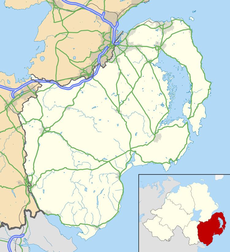
Map of Leitrim, Castlewellan, UK
There are two townlands called Leitrim in South Down, one is referred to as Upper Leitrim, the other, as Lower Leitrim. One being closer to Hilltown, the other approximately 6 miles from Castlewellan, near Dromara. It is set between the Dromara Hills (Slieve Croob) and the Mourne Mountains. It is claimed to be home to the MacCartan clan of Kinelarty.
Places of interest
The Great Northern Railway
The Leitrim railway station was opened on 24 March 1906.
The station closed on 2 May 1955. The station was opened by the Great Northern Railway (Ireland) and was closed by the Ulster Transport Authority.
References
Leitrim, County Down Wikipedia(Text) CC BY-SA