
OS grid reference SO436697 Unitary authority Local time Wednesday 6:23 AM | Civil parish Leinthall Starkes Sovereign state United Kingdom Population 168 (2011) | |
 | ||
Weather 4°C, Wind W at 5 km/h, 97% Humidity | ||
Wigmore leinthall starkes cross country vehicle trial open event
Leinthall Starkes is a small village and civil parish in north-western Herefordshire, England. It is about 7 miles south-west of Ludlow, and near the larger village of Wigmore. The road between the two runs through the village.
Contents
- Wigmore leinthall starkes cross country vehicle trial open event
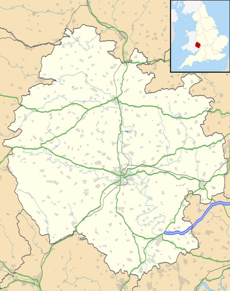
- Map of Leinthall Starkes Ludlow UK
- Stargirl day 3 shoot setup leinthall starkes
- Places of interest
- References
Map of Leinthall Starkes, Ludlow, UK
To the south is Leinthall Earls.
Stargirl day 3 shoot setup leinthall starkes
Places of interest
In a field on the western side of the village, just off the road to Wigmore, there is an ROC post. It was opened in May 1961 and closed in October 1968.
References
Leinthall Starkes Wikipedia(Text) CC BY-SA