
Elevation 16 m (52 ft) Time zone CET (UTC+1) Local time Wednesday 4:15 AM Patron saint Martin of Tours | Demonym(s) Legnaghesi | |
 | ||
Frazioni Canove, Casette, Porto, San Pietro, San Vito, Terranegra, Torretta, Vangadizza, Vigo Weather 8°C, Wind NE at 8 km/h, 75% Humidity | ||
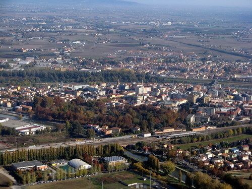
Legnago ([leɲˈɲaːɡo]) is a town and comune in the Province of Verona, Veneto, northern Italy, with population (2012) of 25,439. It is located on the Adige river, about 43 kilometres (27 mi) from Verona. Its fertile land produces crops of rice, other cereals, sugar, and tobacco.
Contents
- Map of 37045 Legnago Province of Verona Italy
- History
- Geography
- Main sights
- Personalities
- Sport
- References
Map of 37045 Legnago, Province of Verona, Italy
History
Traces of human presence in the area date back to the Bronze Age.
Legnago had an important military role since the early Middle Ages. In the 19th century it was one of the Quadrilatero fortresses, the main strongpoint of the Austrian Lombardy-Venetia puppet state during the Italian Wars of Independence. The present fortifications were planned and made in 1815, the older defences having been destroyed by Napoleon I in 1801.
Geography
Located in the southwestern corner of its province, near the borders with the ones of Rovigo, Padua and Vicenza, Legnago borders with the municipalities of Angiari, Bergantino (RO), Bonavigo, Boschi Sant'Anna, Castelnovo Bariano (RO), Cerea, Minerbe, Terrazzo and Villa Bartolomea. It counts the hamlets (frazioni) of Canove, Casette, Porto, San Pietro, San Vito, Terranegra, Torretta, Vangadizza and Vigo.
Main sights
Personalities
Sport
The local football club is the A.C. Legnago Salus.