
Time zone CET (UTC+1) Area code 0518, 058 Area 41.38 km² | Elevation 1 m (3 ft) Postcode 9050–9057 9071–9072 Website www.leeuwarderadeel.nl Local time Tuesday 11:28 PM | |
 | ||
Weather 7°C, Wind SW at 14 km/h, 98% Humidity Points of interest | ||
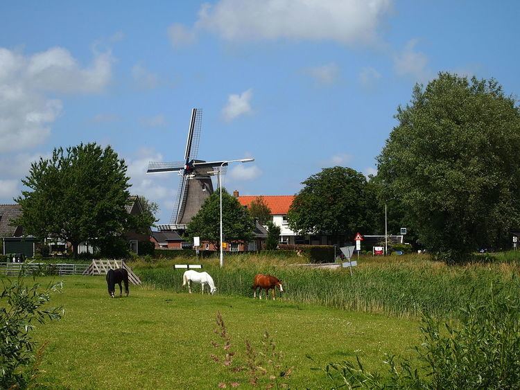
Leeuwarderadeel ( pronunciation , West Frisian: Ljouwerteradiel) is a municipality in the northern Netherlands. Its capital is Stiens.
Contents
Map of Leeuwarderadeel, Netherlands
Population centres
Dutch Topographic map of the municipality of Leeuwarderadeel, June 2015.
Bartlehiem
The hamlet of Bartlehiem is partially in Leeuwarderadeel partially in Ferwerderadiel and partially in Tytsjerksteradiel.
References
Leeuwarderadeel Wikipedia(Text) CC BY-SA