
Country United States County Oneida FIPS code 36-41762 Elevation 286 m Population 6,486 (2010) Area code 315 | State New York Time zone Eastern (EST) (UTC-5) GNIS feature ID 0979137 Zip code 13363 Local time Tuesday 4:56 PM | |
 | ||
Weather -9°C, Wind NW at 24 km/h, 88% Humidity Area 118.1 km² (117.1 km² Land / 104 ha Water) | ||
Lee is a town in Oneida County, New York, United States. The population was 6,486 at the 2010 census.
Contents
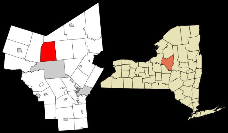
- Map of Lee NY 13471 USA
- History
- Geography
- Demographics
- Communities and locations in Lee
- Schooling
- References
Map of Lee, NY 13471, USA
The Town of Lee is northwest of Rome, New York.
History
The Town of Lee was formed from the Town of Western in 1811. The town was named after Revolutionary War General Charles Lee.
About 1910, the Rome & Osceola Railroad was organized and the rails laid as far as Lee Center, with grading completed along much of the route, intended to carry timber from Tug Hill to a tie plant on the site of the Rite Aid warehouse on Rt 69 in Rome.
George W. Kingsbury, for whom (with his brother), the county of Kingsbury, South Dakota, is named, was born in Lee on Dec 16, 1837.
West Lee was home to a large canning factory.
Geography
According to the United States Census Bureau, the town has a total area of 45.5 square miles (118 km2), of which, 45.2 square miles (117 km2) of it is land and 0.4 square miles (1.0 km2) of it (0.83%) is water.
Delta Reservoir, also called Delta Lake, is partly in the southeast part of the town, created in 1911 as a feeder for the New York State Barge Canal by flooding the Village of Delta.
Demographics
As of the census of 2000, there were 6,875 people, 2,563 households, and 1,970 families residing in the town. The population density was 152.2 people per square mile (58.8/km²). There were 2,699 housing units at an average density of 59.8 per square mile (23.1/km²). The racial makeup of the town was 97.41% White, 0.86% African American, 0.19% Native American, 0.47% Asian, 0.01% Pacific Islander, 0.22% from other races, and 0.84% from two or more races. Hispanic or Latino of any race were 0.80% of the population.
There were 2,563 households out of which 35.4% had children under the age of 18 living with them, 63.4% were married couples living together, 8.8% had a female householder with no husband present, and 23.1% were non-families. 19.7% of all households were made up of individuals and 9.7% had someone living alone who was 65 years of age or older. The average household size was 2.67 and the average family size was 3.05.
In the town, the population was spread out with 26.7% under the age of 18, 6.6% from 18 to 24, 28.1% from 25 to 44, 25.4% from 45 to 64, and 13.2% who were 65 years of age or older. The median age was 38 years. For every 100 females there were 99.7 males. For every 100 females age 18 and over, there were 97.6 males.
The median income for a household in the town was $47,074, and the median income for a family was $51,676. Males had a median income of $34,811 versus $25,522 for females. The per capita income for the town was $20,588. About 5.8% of families and 8.1% of the population were below the poverty line, including 13.1% of those under age 18 and 6.3% of those age 65 or over.
Communities and locations in Lee
Schooling
Students attend schools in one of three area districts: Rome City School District, Camden School District or Adirondack School District in Boonville, New York.
On the present site of the Methodist Church, the first school in Lee was built and went by the name of Lee Center School – District 3, which later became District 1. The school remained open until Lee Center School merged with Rome District Schools in 1957. After the merge, the building was demolished.
Still standing on the corner of Streun Road and Point Rock road is another one of the first and main schoolhouses in Lee Center. Settlers called this the Stone Schoolhouse-District 5. This also held classes until the merge in 1957.
On the corner of Lorena road and Sleepy Hollow road held another schoolhouse. The property lines show half of the building in Rome and the other in Lee center.