
Area 8.68 km² Population 207 (1999) | Intercommunality Pays de Lumbres Local time Tuesday 8:06 PM | |
 | ||
Weather 10°C, Wind SW at 11 km/h, 90% Humidity | ||
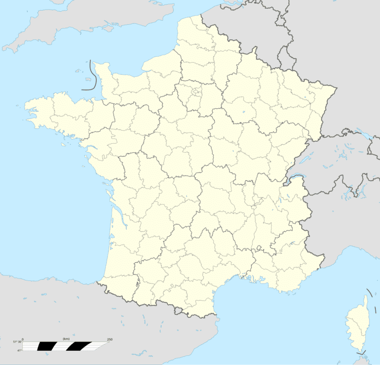
Ledinghem is a commune in the Pas-de-Calais department in the Hauts-de-France region of France.
Contents
Map of Ledinghem, France
Geography
Ledinghem is situated 12 miles (19 km) southwest of Saint-Omer, on the D128 road.
Places of interest
References
Ledinghem Wikipedia(Text) CC BY-SA