
Interest Geological Notification 1959 | Grid reference SD669797 Location map English Nature Areas of search Cumbria, Lancashire | |
 | ||
Similar Gragareth, Green Hill, Crag Hill, Artle Beck, Ward's Stone | ||
Lost john s pot leck fell
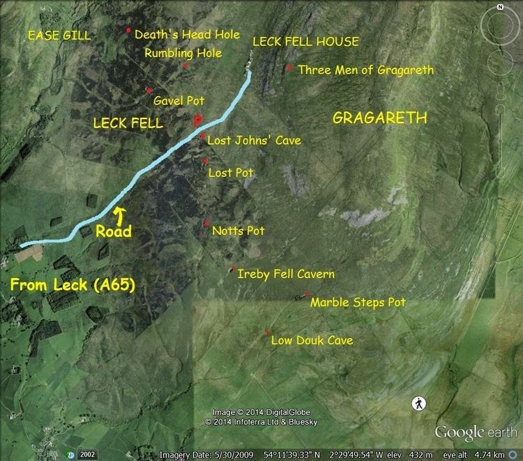
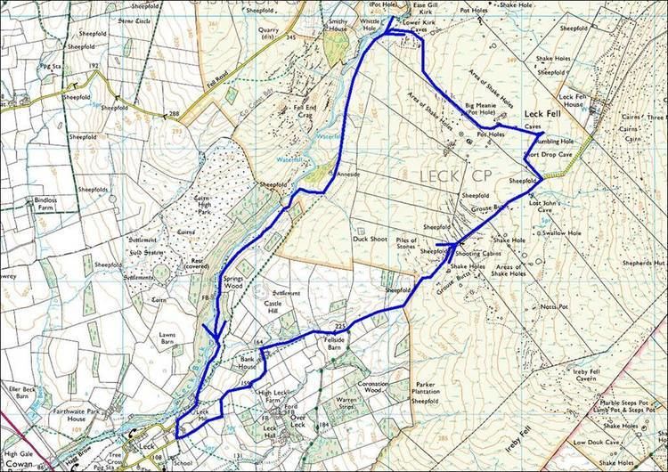
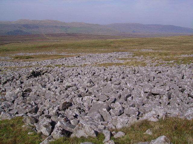
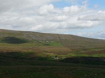
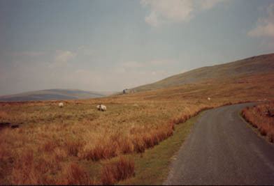
Leck Fell is a Site of Special Scientific Interest in Lancashire. An area of typically heavily grazed open moorland of rough grass and remnant patches of heather with little or no tree cover, it is characterised by the virtual absence of surface drainage and an extensive subterranean drainage network resulting in cave systems and numerous sink holes. It surrounds the high point of Gragareth (627 metres) between Leck Beck and Kingsdale.
Contents
- Lost john s pot leck fell
- Death s head hole leck fell survey trip through lost john s streamway
- History
- Cave systems
- References
Since 1 August 2016 Leck Fell has been part of the Yorkshire Dales National Park.
Death s head hole leck fell survey trip through lost john s streamway
History
The pasturing of animals, along with changes in the climate in the later Bronze Age, contributed to deforestation of the open fell sides and the development of hill peat deposits. The present landscape is dominated by long straight enclosure walls of later 18th or 19th century date.
Cave systems
The 87 kilometres (54 mi) Three Counties System which extends from Kingsdale to Barbondale, includes a number of important cave systems lying beneath Leck Fell.These include:
A formal permitting system operates for access to most of the caves, with no caving allowed in April, May and June.