Rahul Sharma (Editor)

Lechtal Alps

Updated on
Edit
Like
Comment
Share on FacebookTweet on TwitterShare on LinkedInShare on Reddit
States
  
Highest point
  
Parent range
  
Elevation
  
3,036 m (9,961 ft)

Area
  
1,000 km²

Country
  
Lechtal Alps wwwmountainphotographycomimagesxl20130727Hik

Borders on
  
Allgäu Alps and Ammergau Alps

Mountains
  
Parseierspitze, Holzgauer Wetterspitze, Valluga, Vorderseespitze, Dremelspitze

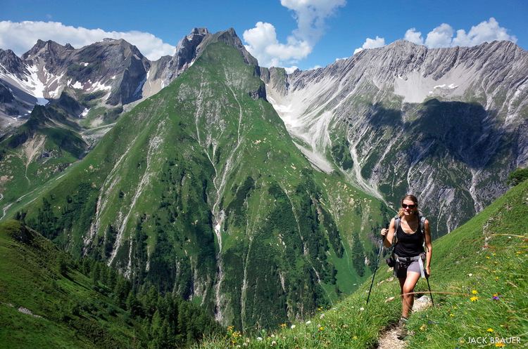
The Lechtal Alps (German: Lechtaler Alpen) are a mountain-range in western Austria, and part of the greater Northern Limestone Alps range. Named for the Lech River which drains them north-ward into Germany, the Lechtal Alps occupy the Austrian states of Tyrol and Vorarlberg and are known for their diverse rock structure.

Map of Lechtal Alps, 6591, Austria

The highest peaks are, in descending order:

  • Parseierspitze, 3,040 metres (9,970 ft)
  • Dawinkopf, 2,970 metres (9,740 ft)
  • Südlicher Schwarzer Kopf, 2,949 metres (9,675 ft)
  • Gatschkopf, 2,947 metres (9,669 ft)
  • Bocksgartenspitze, 2,939 metres (9,642 ft)
  • Holzgauer Wetterspitze, 2,898 metres (9,508 ft)
  • Oberer Bocksgartenkopf, 2,888 metres (9,475 ft)
  • Vorderseespitze, 2,888 metres (9,475 ft)
  • Freispitze, 2,887 metres (9,472 ft)
  • Eisenspitze, 2,859 metres (9,380 ft)
  • The highest summit in the eastern part of the Lechtal Alps is the prominent Große Schlenkerspitze (2,827 m).

    References

    Lechtal Alps Wikipedia


    Similar Topics