Population 100 (2011 Census) Region South East Sovereign state United Kingdom Local time Tuesday 1:25 PM District Swale | Civil parish Leaveland Country England Post town Faversham Shire county Kent | |
 | ||
Weather 13°C, Wind W at 16 km/h, 75% Humidity | ||
Leaveland is a hamlet and civil parish 5 miles south of Faversham in Kent, England.
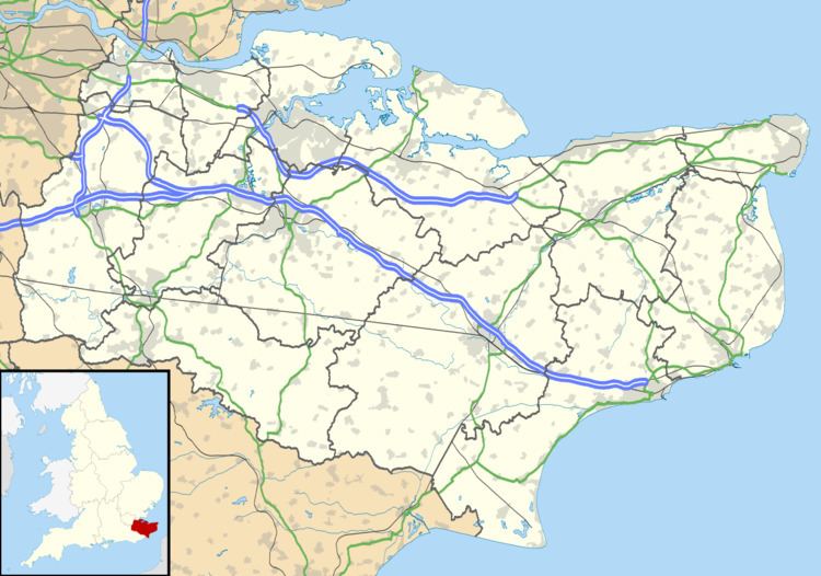
Map of Leaveland, Faversham, UK
It is located West of Badlesmere, and the A251.The closest train station to the area is Selling, which is 5.45km away.
In the 1870's, Leaveland was described as:
A parish in Faversham district, Kent; 3¼ miles SW of Selling r. station, and 4¼ S by W of Faversham. Post town, Badlesmere, under Faversham. Acres, 372. Real property, £685. Pop., 94. Houses, 23. The property is divided among a few. The manor and much of the land belong to Lord Sondes. The living is a rectory, annexed to the rectory of Badlesmere, in the diocese of Canterbury. The church has a wooden turret, and is good.
According to the 2011 Census there were 54 males and 46 females living in the parish
