
Population 410 (2011) Sovereign state United Kingdom | OS grid reference SK952524 Local time Tuesday 8:55 AM | |
 | ||
Weather 8°C, Wind W at 27 km/h, 92% Humidity UK parliament constituency Sleaford and North Hykeham | ||
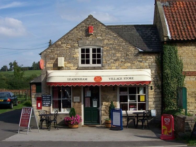
Leadenham is a village and civil parish in North Kesteven district of Lincolnshire, England. The population of the civil parish at the 2011 census was 410. It lies 11 miles (18 km) north from Grantham, on the A607 between Welbourn and Fulbeck, and at the southern edge of the Lincoln Cliff.
Contents
Map of Leadenham, UK
History
There is evidence of Bronze Age, Romano-British and Early Medieval occupation.
The name of the village probably comes from the Anglo-Saxon 'Leodan' and 'ham' for "homestead or village of a man called Leoda." It appears in the Domesday Book as "Ledeneham".
Much of the village belonged to the Reeve family whose family seat is still Leadenham House, a Georgian country house built from 1790 for William Reeve.
The Royal Flying Corps airfield to the east was built in 1916, and closed in 1919.
In 1995 the village was bypassed to the south by the A17.
Community
Leadenham Anglican church is dedicated to St Swithun; it originated in the 13th century and is in Decorated style.
The ecclesiastical parish is part of the Loveden Deanery of the Diocese of Lincoln. As of 2016, the incumbent is Rev Alison Healy.
The village public house is the Willoughby Arms. There is also the George Hotel on High Street (A607).