
9.2 /10 1 Votes
Genre Geopolitic Music by Guy Skornik Original language(s) French / German First episode date September 1990 Languages French, German | 9.2/10 IMDb Starring Jean-Christophe Victor Country of origin France - Germany Running time ~10 min Network Arte | |||||||||||||||||||||||||||||||||
 | ||||||||||||||||||||||||||||||||||
Cast Jean-Christophe Victor, Karl-Heinz Grimm Writers Jean-Christophe Victor, Virginie Raisson, Laurence Capitaine, Frank Tétart Similar Through the Wormhole, 360° – Die GEO‑Reportage, Karambolage, On n'est pas couché, The Universe Profiles | ||||||||||||||||||||||||||||||||||
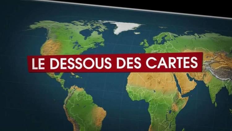
Le Dessous Des Cartes (Mit offenen Karten in German, literally translated "with open cards", or 'maps') is a weekly broadcast on geopolitics from the Franco-German Arte channel. The show uses maps as visual support. It stars the geographer and geo-politician Jean-Christophe Victor (son of the explorer Paul-Emile Victor).
The content of the show is jointly prepared by Jean-Christophe Victor and the "Laboratoire d'études politiques et d'analyses cartographiques" (Laboratory for Political Studies and Map analysis), known as LEPAC, and of which he is the founder and main shareholder.
Contents
Programming and format
The show was first aired from 1990 to 1992, on La Sept until it stopped broadcasting, and has been on air since 1992 on the Franco-German channel Arte. The show is broadcast every Saturday at 20h00 (Paris local time, UTC+1) and rebroadcast several times a week. The format of the show has changed little since the first episode. However, the episode length expanded from 7 to 11 minutes. The transition from 11 to 26 minutes referred to by Jean-Christophe Victor in 2002 was abandoned.
Structure of the show
In general, the show runs as follows:
Maps and visualization methods
Topographic maps are based on the Ordnance Survey Oxford Cartographers. The most commonly used Map projection is that of Eckert (the Pseudo-cylindrical projection). The show also uses satellite imagery from Google Earth and the first use was in the episode named: "Nigeria, rich state poor country."
Program production cycle
The Laboratoire d'études politiques et d'analyses cartographiques (LEPAC) produces about forty episodes a year for the channel Arte. The subjects for most episodes are decided a year in advance to allow time for production. This delay in the selection of themes allows a certain hindsight regarding the chosen topic. However, on occasion, the topic of an episode is more closely related to current events. For example, the episode "Tsunami, a natural phenomenon" aired just three months after the events in South-East Asia..
The subjects of the show
Of the 300 programs (from March 2001 to May 2008), 210 (70%) have a geographical approach and 84 (28%) have a thematic approach. 6 issues remain unclassifiable: introspective (ex: "La Methode le Dessous des Cartes") or dreamers (ex: "A journey with Corto Maltese, Turkey to Samarkand") For information and the geographical most commonly accepted:
Anecdote: The issue of 29 March 2000, for the week of April 1, is a parody of the show itself. The producing team of the show made what could be the episode of 1 April 3000 by offering a retrospective view of the past thousand years.
The methods and objectives of the programme
In a special 10th birthday episode named "La méthode du Dessous des Cartes", the aims of the show were outlined:
The main, oft repeated aim of the show is "to understand rather than to inform."
Positions
The main positions of the show and its sponsors are as follows: in favor of Human rights, Sustainable development, and the Proposals for a Palestinian state, and against the concepts of Ethnic cleansing, Just War and The Clash of Civilizations (as suggested for example by Samuel P. Huntington).
Awards
Books
Video on demand
The site artevod (www.artevod.fr) offers the episodes of the show for download in the Windows Media Video format.
DVD
Each semester, Arte Video and LEPAC publish a DVD. The DVD includes 12 to 20 episodes of the show regarding a theme. DVDs released so far: