
Time zone CET (UTC+1) Area 19.06 km² Local time Tuesday 7:41 AM | Region Normandy Canton Lyons-la-Forêt INSEE/Postal code 27664 /27480 Population 391 (1999) | |
 | ||
Weather 3°C, Wind SW at 5 km/h, 93% Humidity | ||
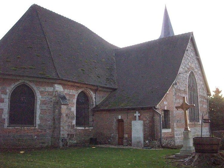
Le Tronquay is a commune in the Eure department in Haute-Normandie in northern France. It is located in the forest of Lyons, 100 km from Paris and 30 km from Rouen. The village has two primary schools. The commune of Le Tronquay includes the localities Les Cornets, La Grand Fray, La Motte, Le Fresnay, and Les Landez, and notable farms are Les Callouettes, Les Brûlins, Le Bâtiment, and La Garenne.
Contents
Map of 27480 Le Tronquay, France
History
Le Tronquay was first mentioned in the 12th century. The name Tronquay is probably related to the word tronc meaning "trunk". In 1787, the commune Les Hogues was separated from the territory of Le Tronquay.
Personalities
References
Le Tronquay, Eure Wikipedia(Text) CC BY-SA